Budapest Just Got a Time Machine, and You Can Use It Right From Your Phone
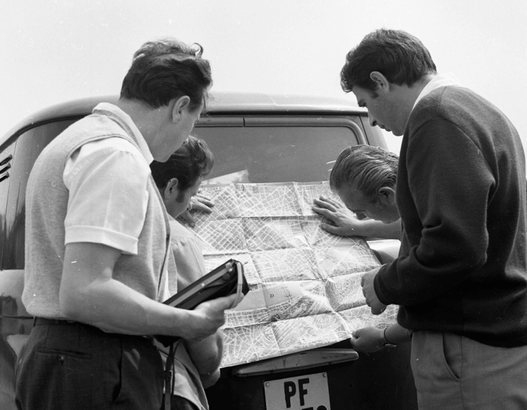
Imagine standing on a street corner in Budapest, opening an app, and seeing exactly what that same spot looked like fifty or eighty years ago. That’s no longer a hypothetical. Fortepan, Hungary’s beloved free photo archive, has just launched an interactive map that lets anyone browse tens of thousands of historic photographs pinned to their exact real-world locations, and for visitors curious about the layers of history beneath Budapest’s streets, it’s one of the most fascinating free tools the city has to offer right now.
What Fortepan Actually Is
If you haven’t come across it yet, Fortepan is a community-built photo archive that started in 2010 with just five thousand images, mostly old family negatives rescued from junk-clearance piles and flea markets around Budapest. Sixteen years later, it holds around 220,000 photographs spanning roughly 1900 to 1990, all free to browse, download, and reuse with credit. The collection grew through donations from hundreds of families, amateur photographers, and even professional archives, and it has become something of a national treasure for anyone interested in twentieth-century Hungarian life, fashion, architecture, and street scenes.
The New Map That Changes Everything
To mark its sixteenth birthday, the Fortepan team launched what they’re calling the Fortepan Map, a browsable interface that places roughly 45,000 archival photographs onto a modern, interactive city map using precise geographic coordinates. About half of the entire Budapest collection has already been pinned this way, which means you can search not just by year or keyword as before, but by an actual street corner, a specific building, or a whole neighborhood, then slide along a timeline to see how that spot evolved.
Getting there wasn’t simple. The team first ran an AI-powered language tool across thousands of photo captions to extract address information automatically, and then a dedicated group of volunteers manually checked and corrected every single coordinate by hand over roughly a year and a half of work, making sure each photograph actually landed on its true location. The result is a tool where you can zoom into, say, a square near your hotel and watch decades of streetcars, storefronts, fashions, and even long-demolished buildings appear layered right on top of today’s city.
Best deals of Budapest










Why This Matters for Anyone Exploring Budapest
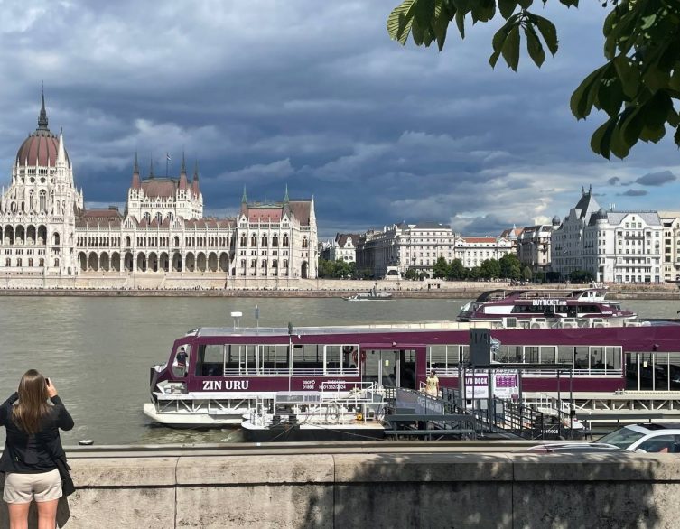
For visitors walking around the city, this turns sightseeing into something closer to time travel. Stand in front of a building on your phone, pull up the map, and compare what’s in front of you with a photograph taken from the same spot generations ago. It’s a genuinely different way to appreciate Budapest’s architecture and understand what has survived, what changed during wartime destruction, and what disappeared during major urban redevelopment projects over the decades.
The map is also a fun jumping-off point for creative city exploration. Photography enthusiasts use it to recreate “then and now” shots from the exact angle of an old photograph, walking tour guides have started building scavenger-hunt style routes around it, and it’s become a popular source for short-form video content on platforms like Instagram and TikTok, since side-by-side comparisons of old and new Budapest tend to stop people mid-scroll. If you happen to have Hungarian family roots, it’s also worth checking whether an old street name they mentioned turns up something extraordinary.
Practical Tips for Trying It Yourself
The Fortepan Map is accessible directly from the main Fortepan website as a dedicated map section, and it works well on both desktop and mobile browsers, so you can pull it up while walking around the city without needing to download anything. Keep in mind the archive’s editors are upfront that the map is a work in progress and likely always will be, since new photos and corrections are added over time, so if you spot a misplaced pin or a duplicate, there’s a feedback channel to flag it. For anyone who wants the full, most up-to-date photo collection rather than just the mapped subset, the traditional Fortepan search interface, organized by keyword and date, remains available and still holds the complete archive.
Longer term, the team behind the project has said they’d like to expand the mapped coverage of Budapest further and eventually bring similar treatment to photo collections from other Hungarian cities, with early efforts already underway for towns like Győr. For now, though, Budapest is the star of the show, and few free tools offer such an immediate, visceral way to see how much the city has changed while somehow still feeling entirely like itself.
Related news
Budapest Ring: A Walking Route to Discover the City Beyond the Centre
Budapest does not end where the sightseeing crowds thin out. Beyond the grand boulevards and familiar riverside landmarks, the outer districts reveal...
Update! – A New Kolodko Mini-Statue on Liberty Bridge Honors Budapest’s Forgotten Hydroplane Line
Update! Contrary to what Kolodko had his followers to believe, the artist did not install the mini-statue in Budapest. Instead he picked one of the...

What’s On in Budapest: The City’s Best Photo Exhibitions Right Now
Budapest has quietly turned into one of Europe’s most rewarding cities for photography lovers this year, and you don’t need to hunt far...
Take Only Photos: The Sunken Ghost Bridge Reappearing in the Danube
Budapest’s Danube is running so low this summer that it’s giving up one of its best-kept secrets: the skeletal remains of a bridge that...
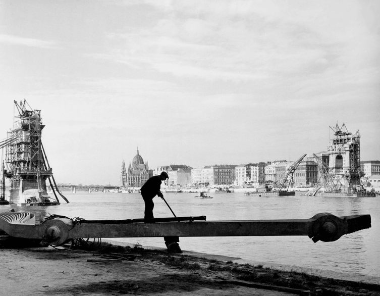
Robert Capa’s Last Homecoming: A Hidden Chapter of Budapest History
There’s a particular kind of melancholy in coming home to a place that no longer exists in the way you remember it. That’s the quiet...
Related attractions
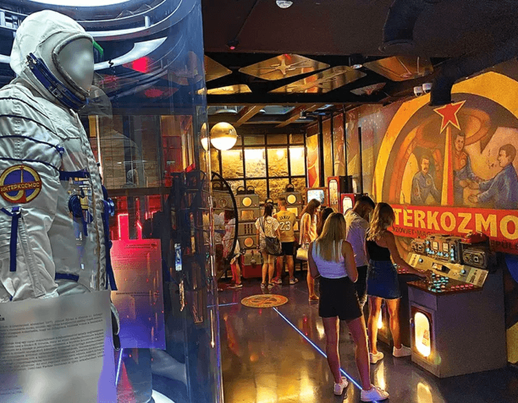
Step Into Hungary’s Secret Past: Budapest Retro Museum
Imagine stepping through a portal into a world where East met West behind the Iron Curtain, where space dreams collided with everyday socialist reality,...

Discover Budapest’s History Like Never Before: Time Machine Budapest
Are you ready for an unforgettable journey through Budapest’s most significant historical moments? Look no further than Time Machine Budapest,...