Why Is the Danube Below Zero in Budapest? What a Negative Water Level Really Means
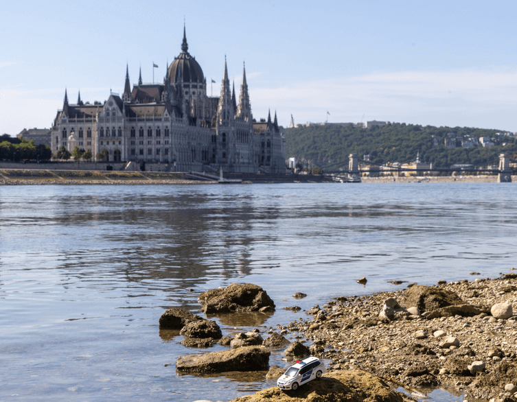
Budapest’s Danube gauge has entered unfamiliar territory: for the first time in its recorded history, it has shown a negative reading. It may sound alarming—how can a river be “minus one centimeter” deep?—but visitors should not picture an empty riverbed or a Danube that has somehow run out of water.
The negative number does not describe the river’s depth or the total amount of water in it. Instead, it tells a much more interesting story about a historic measuring point, a changing riverbed, an exceptionally dry period and the natural system behind Budapest’s drinking water supply.
The Danube Has Not Disappeared
The water level of the Danube in Budapest is measured at a gauge beside Vigadó Square, on the Pest embankment near the city centre. This is the familiar riverside area between the Chain Bridge and Elizabeth Bridge, close to the Danube Promenade and many sightseeing boat piers.
Every river gauge has an agreed fixed zero point. At Vigadó Square, that point lies 94.97 metres above the Baltic Sea reference level. When the gauge reads 0 centimetres, it simply means that the Danube’s surface has reached that particular elevation. It does not mean that the river has no water left.
A reading of minus 10 centimetres would mean that the surface of the river is at 94.87 metres above the Baltic reference level. The minus sign is therefore a comparison with the gauge’s historic baseline—not a statement that the Danube contains “less than nothing”.
That distinction matters when you are looking down from the embankment. Even at a negative reading, the Danube remains a broad, flowing river carrying a substantial volume of water through Budapest. On 1 October 2026, the Vigadó Square gauge reached a historic low of minus 1 centimetre. Forecasts at the time suggested that the level could fall further, potentially towards minus 8 centimetres.
Best deals of Budapest










A Number with Two Centuries of History
Budapest’s river measurements go back to the early 19th century. The first gauge on the Buda side was installed in 1817, while systematic official observations began in 1823. The original reference levels were chosen with the low-water conditions known at the time in mind.
But rivers do not stay still. Over generations, the Danube’s channel has changed through river engineering, sediment movement and the gradual deepening of parts of the riverbed. In 1943, the zero point of the Vigadó Square gauge was moved one metre lower. The practical reason was simple: officials wanted to avoid confusing negative figures during low-water periods.
More than 80 years later, the Danube has reached that lowered reference point too—and now dipped below it. The negative reading is striking precisely because it connects present-day conditions with a measuring system shaped by nearly 200 years of observation.
A Record, but Not a Physical Limit
Before 2026, the lowest water level recorded at the Vigadó Square gauge was 33 centimetres, measured on 25 October 2018. This summer’s prolonged low-water period repeatedly fell below that benchmark, first reaching 0 centimetres in September and then moving into negative territory in early October.
Hydrologists use the term lowest recorded water level for this kind of record, but it should not be mistaken for a natural limit. It only means that no lower reading had previously been observed at that specific gauge.
This is also why visitors should avoid comparing centimetre readings from different points along the Danube. Each measuring station has its own fixed zero level. On the same day, one gauge may show a positive number while another records a negative one, even though both describe the same river system.
Water Level Is Not the Same as Flow
To understand the Danube’s real condition, experts look at more than the number on a waterside gauge. One key measurement is discharge: the volume of water passing through a river cross-section in a given time, usually expressed in cubic metres per second.
When the river reached 0 centimetres in Budapest in September, about 685 cubic metres of water were still flowing past the city every second. That is a huge quantity, even though it is far below flood conditions.
For comparison, during Budapest’s record flood in 2013, the river reached 891 centimetres at the gauge and discharge climbed to around 9,200 cubic metres per second. The contrast shows why water level alone cannot tell the entire story. A single river can look and behave dramatically differently depending on rainfall across its vast catchment area, snowmelt, evaporation, tributary flows and the shape of the riverbed.
The Danube’s channel also plays a role. River regulation works, past gravel extraction and dams upstream that retain sediment have all contributed to long-term changes in some stretches of the river. Where the bed deepens, the same volume of water can correspond to a lower surface level.
What Low Water Means for Sightseeing
For foreign visitors, an unusually low Danube can make Budapest’s riverbanks look noticeably different. More of the lower embankment, stone steps and shoreline may be visible, while the river can appear narrower around islands and shallow sections. It offers a rare visual reminder that the Danube is not merely Budapest’s scenic backdrop: it is a living, changing European river.
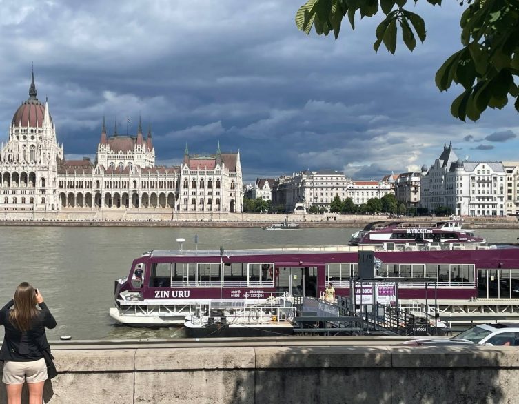
The best places to notice the river’s low level are along the Danube Promenade, around Vigadó Square, at the Pest embankment near the Parliament Building, and from the Buda side between Castle Garden Bazaar and the Chain Bridge. Views from Liberty Bridge and Margaret Bridge can also make the exposed shoreline especially clear.
Low water does not automatically mean that all river cruises or public boat services stop, but navigation conditions can change. Visitors planning a sightseeing cruise should check directly with their operator, as routes, boarding points and schedules may be adjusted when water levels are unusually low.
Does It Affect Budapest’s Tap Water?
The Danube’s level matters greatly to Budapest’s water utility, although the city does not simply pump untreated river water straight from the current into household taps.
Budapest relies primarily on bank filtration, a natural process in which Danube water moves through layers of sand and gravel beneath the riverbed and riverbank before reaching wells near the river. This natural underground journey helps filter the water before further treatment and quality control.
Extremely low water levels can reduce the part of the underground water-bearing layer available for production, which in turn lowers the capacity of the wells. For Budapest Waterworks, this makes low water an operational challenge rather than a tourist curiosity. The system is closely monitored, however, and Budapest’s tap water remains safe to drink.
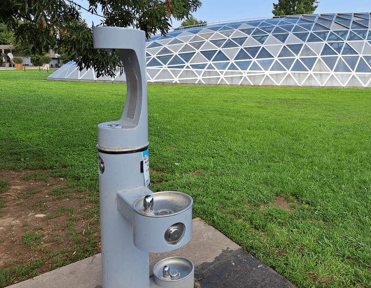
For travellers, the practical message is reassuring: bring a refillable bottle and take advantage of the city’s drinking water while exploring Budapest, particularly during warm and dry periods.
More Than a Minus Sign
A negative Danube reading may look like a small and strange detail on a gauge beside Vigadó Square. In reality, it reflects a much bigger story: two centuries of river observation, the changing form of the Danube, drought across a vast European catchment area and the water system that supports daily life in Budapest.
So if you see reports saying that the Danube is “below zero” in Budapest, there is no need to imagine the river vanishing. The Danube does not begin at a gauge’s zero line, and it certainly does not end there.
Related news

Cleanup Crews Race to Clear Debris From the Shrinking Danube
Budapest’s water authorities have launched a large-scale operation to remove decades of accumulated waste and wreckage from the exposed bed...
The Danube Just Gave Up a Piece of World War II History in the Heart of Budapest
Budapest’s mighty river has always had a habit of keeping secrets, but this summer it decided to share one. As the Danube dropped to a record-low...
Budapest’s Tap Water Stays Safe Despite Record-Low Danube Levels
If you’re visiting Budapest this summer and wondering whether it’s still fine to fill up your water bottle from the tap, the answer is...
Take Only Photos: The Sunken Ghost Bridge Reappearing in the Danube
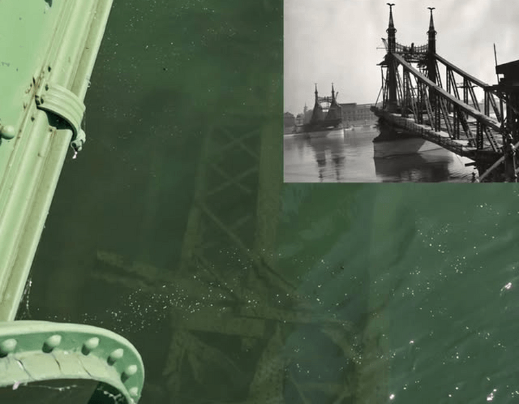
Budapest’s Danube is running so low this summer that it’s giving up one of its best-kept secrets: the skeletal remains of a bridge that...

Why Budapest’s Danube Is Suddenly Giving Up Its Secrets — And Why You Shouldn’t Touch Them
If you’ve strolled along the Danube embankment near Margaret Bridge this summer, you may have noticed something odd: wide stretches of riverbed...