Budapest’s New Riverside Tram Line: A Greener Way to Explore South Buda
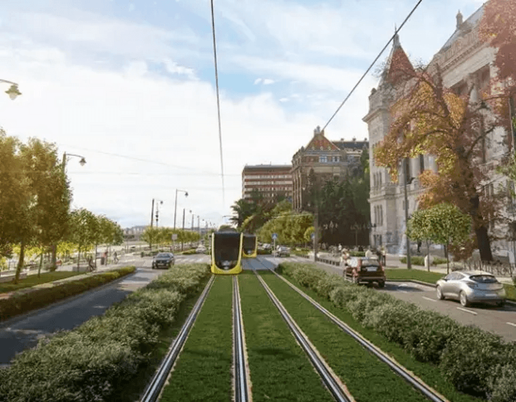
Exploring Budapest’s Buda riverbank could become easier—and more enjoyable—thanks to a planned tram extension linking St. Gellért Square with the growing neighbourhoods of South Buda. The project would bring trams along the university waterfront towards BudaPart and Kopaszi Dam, while also creating better walking and cycling connections beside the Danube.
But this is more than a transport upgrade. The second phase of the interconnected Buda tram network combines new tracks with greener streets, accessible stops and redesigned public spaces. For visitors, its biggest appeal may be the combination: an easier journey south and a more inviting riverbank to explore once you arrive.
Where Will Budapest’s New Tram Line Run?
The planned 2.8-kilometre, double-track line would begin at St. Gellért Square, follow University Embankment and Péter Pázmány Promenade, then turn onto Dombóvári Road towards a terminus at Budafoki Road.
Along the way, it would serve the university district, the Buda side of Petőfi Bridge and the area around the planned Nádorkert railway station. Seven pairs of accessible stops are included in the design, with platforms and their surroundings planned together to make boarding and onward connections safer and more convenient.
For tourists, the route would open up a useful corridor beyond the most familiar riverside sights. Rather than ending your exploration around St. Gellért Square, you would have a straightforward tram connection towards South Buda’s university campuses, contemporary neighbourhoods and waterfront leisure areas.
Best deals of Budapest












A Quicker Connection to BudaPart and Kopaszi Dam
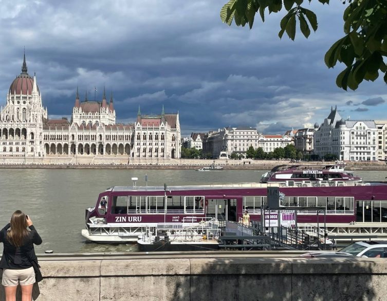
One of the project’s main goals is to improve access to Infopark, BudaPart and the Kopaszi Dam area. These destinations would benefit from a tram connection along the university waterfront, supported by links to the wider public transport network.
Simulations indicate a journey time of approximately eight to nine minutes between St. Gellért Square and the Budafoki Road terminus. That figure describes the estimated tram ride itself, rather than a promised saving compared with today’s transport options.
The extension is also designed to connect with tram line 1. At Nádorkert, a planned interchange with suburban rail would create another way to reach the area, although that connection depends on the associated railway development.
A Riverside Walk Worth Taking in Its Own Right
The most noticeable changes may not be the tracks. A central part of the project is a continuous, direct walking and cycling connection along the Danube, with improvements extending between St. Gellért Square and Rákóczi Bridge.
That matters because a pleasant waterfront depends on more than a good view. Awkward junctions, interrupted paths and narrow passages beneath bridges can make an otherwise attractive route difficult to follow. The designers have examined these connections alongside the tram alignment, aiming to make the riverbank work as a coherent public space.
The upper embankment in front of Budapest University of Technology and Economics would also be redesigned. Plans call for less paving and car traffic, more greenery, and a more open relationship with the river. The space outside the university’s main building is intended to become somewhere to spend time, rather than simply pass through.
Grass-Covered Tracks and Better Conditions for Trees
Around 1.2 kilometres of the new line—just under half its length—would have grass-covered tracks. Alongside additional planting and efforts to preserve existing avenues of trees, this would give parts of the route a greener appearance.
Some of the most important work, however, would happen underground. The design uses the Stockholm tree-planting method in selected places where narrow green strips leave little room for roots. Its purpose is to provide a more suitable root zone beneath paved urban surroundings.
Giving trees enough space below ground can help them survive over the long term, retain rainwater locally and cope better with heat and dry conditions. In this project, tree protection has been considered alongside the placement of tracks, utilities and other infrastructure—not treated as an afterthought.
Why Building a Tram Line Takes More Than Laying Rails
Fitting the extension into an established riverfront is a substantial engineering challenge. The project affects 16 road junctions and requires coordination between tram tracks, overhead wires, road traffic, utilities, lighting, pedestrian routes and cycle paths.
Space is especially tight around junctions and beneath bridges. Design firm FŐMTERV has had to balance these competing demands while protecting existing trees and maintaining workable transport connections.
Traffic signals are also being planned to give trams more favourable passage through junctions. Meanwhile, track-design measures are intended to reduce noise and vibration along the route.
When Will the New Budapest Tram Line Open?
The published project schedule places the start of construction in the second half of 2026, with completion targeted for the end of 2029. That remains a planned completion date, not a confirmed passenger-service opening date.
The project update states that the funding agreement has been signed, securing European Union support alongside Hungarian state co-financing. Construction is intended to proceed in stages rather than closing the entire affected corridor at once.
For anyone visiting Budapest now, the important distinction is that this is a future connection, not a tram route you can already use. Once completed, however, it promises more than a convenient ride: it could make South Buda’s riverfront a more connected, greener and rewarding part of a Budapest stay.
Related news
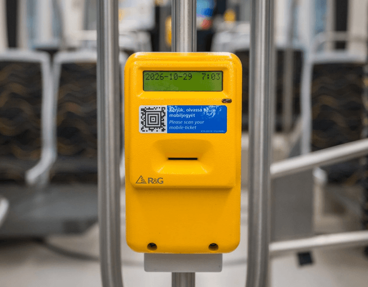
Budapest Digital Tickets: Easier Validation on Buses and Trams from October 2026
Catching a tram just before it pulls away? A new Budapest public transport update should make that moment a little less stressful. BKK, the Centre...

Budapest’s New 56-Metre CAF Tram Arrives: A More Comfortable Ride on Tram 1
Budapest’s tram fleet has just welcomed a very long new arrival. On 8 October 2026, the city announced the arrival of its first new-generation,...